Aéroport de Jack Northrop Field Hawthorne Municipal(HHR)
Jack Northrop Field Hawthorne Municipalest un aéroport domestique de taille moyenne, situé à proximité de Hawthorne.
| Code IATA | HHR |
| Code ICAO / OCIA | KHHR |
| Ville | Hawthorne |
| Pays | États-Unis (US) |
En complément, vous pouvez consulter la page wikipedia de Jack Northrop Field Hawthorne Municipal à l'adresse https://en.wikipedia.org/wiki/Hawthorne_Municipal_Airport_(California).
Vols à l'aéroport Jack Northrop Field Hawthorne Municipal (HHR)
Si vous recherchez un vol au départ ou à destination de l'aéroport Jack Northrop Field Hawthorne Municipal (HHR), en États-Unis, vous pouvez utiliser les comparateurs de vols.
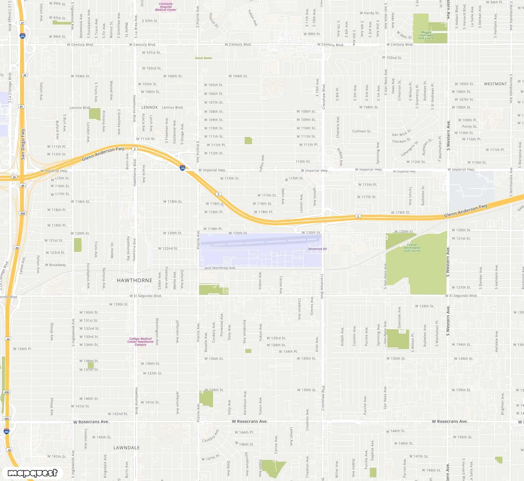
Trouver un vol à l'aéroport Jack Northrop Field Hawthorne Municipal (HHR)Localisation de Jack Northrop Field Hawthorne Municipal (HHR)
L'Aéroport de Jack Northrop Field Hawthorne Municipal(HHR) est situé dans le pays États-Unis (US), et plus précisément dans la localité de Hawthorne.
Pour localiser précisément l'aéroport Jack Northrop Field Hawthorne Municipal (HHR), vous pouvez utiliser ses coordonnées GPS 33.9227980 (latitude), -118.3349990 (longitude). Vous pouvez également consulter la carte de l'aéroport Jack Northrop Field Hawthorne Municipal (HHR) sur Google Maps, par exemple.
| Latitude | 33.9227980 |
| Longitude | -118.3349990 |
| Elevation | 0 |
Questions fréquentes sur Jack Northrop Field Hawthorne Municipal (HHR)
Ci-dessous, retrouvez les questions que les voyageurs se posent fréquemment à propos de l'aéroport Jack Northrop Field Hawthorne Municipal (HHR).
L'aéroport Jack Northrop Field Hawthorne Municipal a sa propre page wikipedia à l'adresse https://en.wikipedia.org/wiki/Hawthorne_Municipal_Airport_(California) pour avoir plus d'informations sur Jack Northrop Field Hawthorne Municipal.
L'aéroport Jack Northrop Field Hawthorne Municipal a le code HHR grâce auquel il est habituellement désigné.
Le code IATA HHR correspond à l'aéroport Jack Northrop Field Hawthorne Municipal situé en États-Unis.
L'aéroport Jack Northrop Field Hawthorne Municipal a le code KHHR. Le code ICAO est généralement utilisé lorsqu'un aéroport n'a pas de code IATA.
L'aéroport Jack Northrop Field Hawthorne Municipal est situé aux coordonnées GPS suivantes : 33.9227980, -118.3349990
Le code OCIA / ICAO KHHR correspond à l'aéroport Jack Northrop Field Hawthorne Municipal situé en États-Unis.