U-Tapao airport (UTP)
If you're looking for an hotel or an accomodation near U-Tapao (UTP), please visit the dedicated page.
| IATA Code | UTP |
| ICAO Code | VTBU |
| City | Rayong |
| Country | Thailand (TH) |
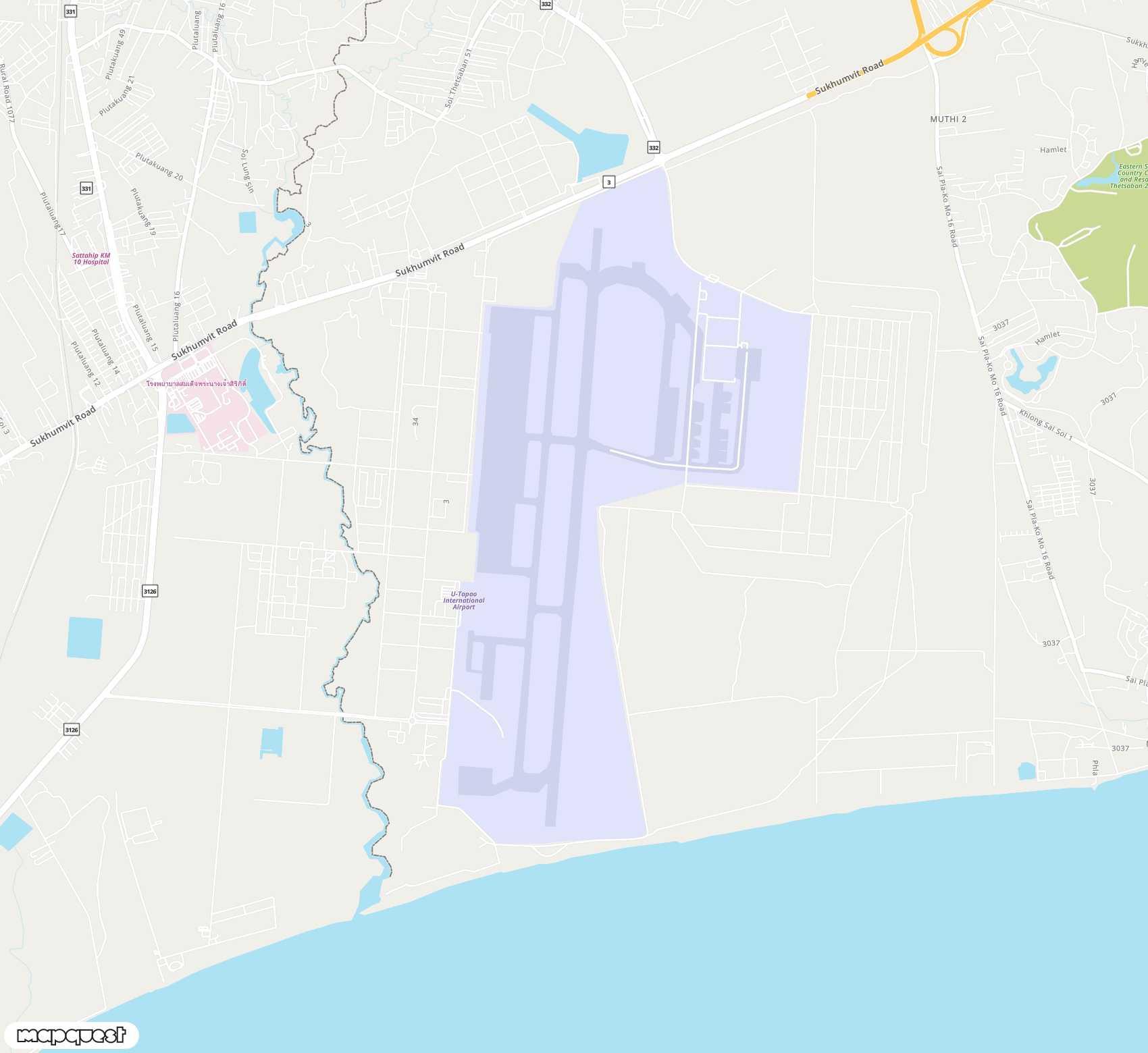
U-Tapao (UTP) location
U-Tapao airport (UTP) is located in the country Thailand (TH), more precisely next to Rayong city.
To locate precisely the airport U-Tapao (UTP), you can use its GPS coordinates : 12.6799002 (latitude), 101.0049973 (longitude). You can also have a look to U-Tapao (UTP) airport map on Google Maps, for instance.
| Latitude | 12.6799002 |
| Longitude | 101.0049973 |
| Elevation | 0 |
Frequently asked question about U-Tapao (UTP)
Hereafter, you can find answers to the frequently asked question about U-Tapao airport.
The IATA code of U-Tapao airport is UTP. The International Air Transport Association delivered the code UTP to U-Tapao airport.
The ICAO code of U-Tapao airport is VTBU. The International Civil Aviation Organization delivered the code VTBU to U-Tapao airport.
The GPS coordinate (latitude, longitude) of U-Tapao airport are 12.6799002 (latitude) and 101.0049973 (longitude) in decimal format.
U-Tapao airport is next to Rayong (Thailand).
Please click on this link to visit the official website of U-Tapao airport. The url of the official website for U-Tapao is http://www.utapao.com/.
Please click on this link to visit the wikipedia page for U-Tapao airport. The url of the wiki page for U-Tapao is https://en.wikipedia.org/wiki/U-Tapao_International_Airport.