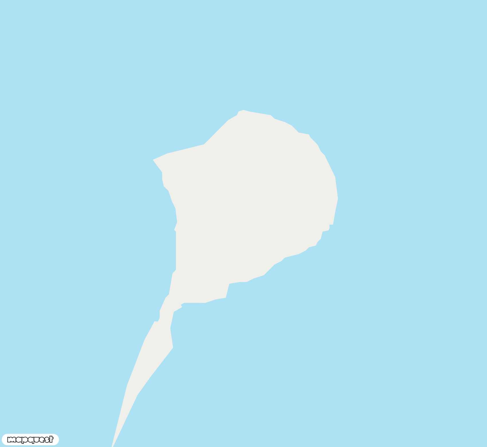
Maloelap Island airfield (MAV)
If you're looking for an hotel or an accomodation near Maloelap Island (MAV), please visit the dedicated page.
| IATA Code | MAV |
| ICAO Code | MH-M |
| City | Maloelap Island |
| Country | Marshall Islands (MH) |
Maloelap Island (MAV) location
Maloelap Island airfield (MAV) is located in the country Marshall Islands (MH), more precisely next to Maloelap Island city.
To locate precisely the airport Maloelap Island (MAV), you can use its GPS coordinates : 8.7044401 (latitude), 171.2299957 (longitude). You can also have a look to Maloelap Island (MAV) airport map on Google Maps, for instance.
| Latitude | 8.7044401 |
| Longitude | 171.2299957 |
| Elevation | 0 |
Frequently asked question about Maloelap Island (MAV)
Hereafter, you can find answers to the frequently asked question about Maloelap Island airport.
The IATA code of Maloelap Island airport is MAV. The International Air Transport Association delivered the code MAV to Maloelap Island airport.
The ICAO code of Maloelap Island airport is MH-M. The International Civil Aviation Organization delivered the code MH-M to Maloelap Island airport.
The GPS coordinate (latitude, longitude) of Maloelap Island airport are 8.7044401 (latitude) and 171.2299957 (longitude) in decimal format.
Maloelap Island airport is next to Maloelap Island (Marshall Islands).
As of now, we don't have the URL of an official website for Maloelap Island airport.
Please click on this link to visit the wikipedia page for Maloelap Island airport. The url of the wiki page for Maloelap Island is https://en.wikipedia.org/wiki/Maloelap_Airport.