Val de Cans/JĂşlio Cezar Ribeiro international airport (BEL)
If you're looking for an hotel or an accomodation near Val de Cans/Júlio Cezar Ribeiro (BEL), please visit the dedicated page.
| IATA Code | BEL |
| ICAO Code | SBBE |
| City | BelĂŠm |
| Country | Brazil (BR) |
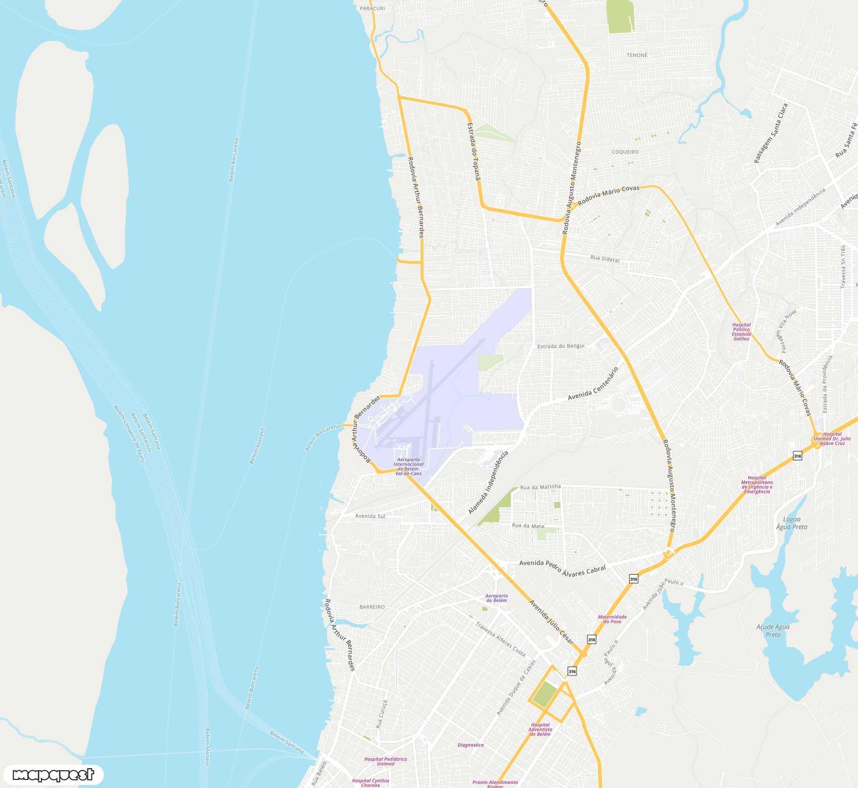
Val de Cans/Júlio Cezar Ribeiro (BEL) location
Val de Cans/JĂşlio Cezar Ribeiro international airport (BEL) is located in the country Brazil (BR), more precisely next to BelĂŠm city.
To locate precisely the airport Val de Cans/Júlio Cezar Ribeiro (BEL), you can use its GPS coordinates : -1.3792790 (latitude), -48.4762070 (longitude). You can also have a look to Val de Cans/Júlio Cezar Ribeiro (BEL) airport map on Google Maps, for instance.
| Latitude | -1.3792790 |
| Longitude | -48.4762070 |
| Elevation | 0 |
Frequently asked question about Val de Cans/Júlio Cezar Ribeiro (BEL)
Hereafter, you can find answers to the frequently asked question about Val de Cans/Júlio Cezar Ribeiro airport.
The IATA code of Val de Cans/Júlio Cezar Ribeiro airport is BEL. The International Air Transport Association delivered the code BEL to Val de Cans/Júlio Cezar Ribeiro airport.
The ICAO code of Val de Cans/Júlio Cezar Ribeiro airport is SBBE. The International Civil Aviation Organization delivered the code SBBE to Val de Cans/Júlio Cezar Ribeiro airport.
The GPS coordinate (latitude, longitude) of Val de Cans/Júlio Cezar Ribeiro airport are -1.3792790 (latitude) and -48.4762070 (longitude) in decimal format.
Val de Cans/Júlio Cezar Ribeiro airport is next to Belém (Brazil).
Please click on this link to visit the official website of Val de Cans/Júlio Cezar Ribeiro airport. The url of the official website for Val de Cans/Júlio Cezar Ribeiro is http://www.infraero.gov.br/index.php/br/aeroportos/para/aeroporto-internacional-de-belem.html.
Please click on this link to visit the wikipedia page for Val de Cans/Júlio Cezar Ribeiro airport. The url of the wiki page for Val de Cans/Júlio Cezar Ribeiro is https://en.wikipedia.org/wiki/Val_de_Cans_International_Airport.